Introduction
The following collection of maps has been compiled using data from the 1996 Census, conducted by Statistics Canada. The census is conducted once every five years, and offers an in-depth exploration of the health and vitality of the Canadian urban landscape.
Phase 1 of this research project is to attempt to visualize the detailed data collected from the 1996 Census and develop a snapshot of the Montreal area and understand the dimensions that shape its urban form.
Phase 2 will integrate Origin-Destination Surveys as conducted by the Montreal Metropolitan Transit Agency, and better determine the characteristics that drive travel behaviour within the Greater Montreal Area.
This is part of an ongoing research project conducted by the School of Urban Planning at McGill University.
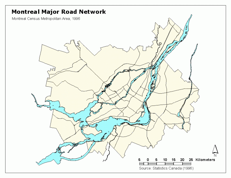
Montreal Road Network